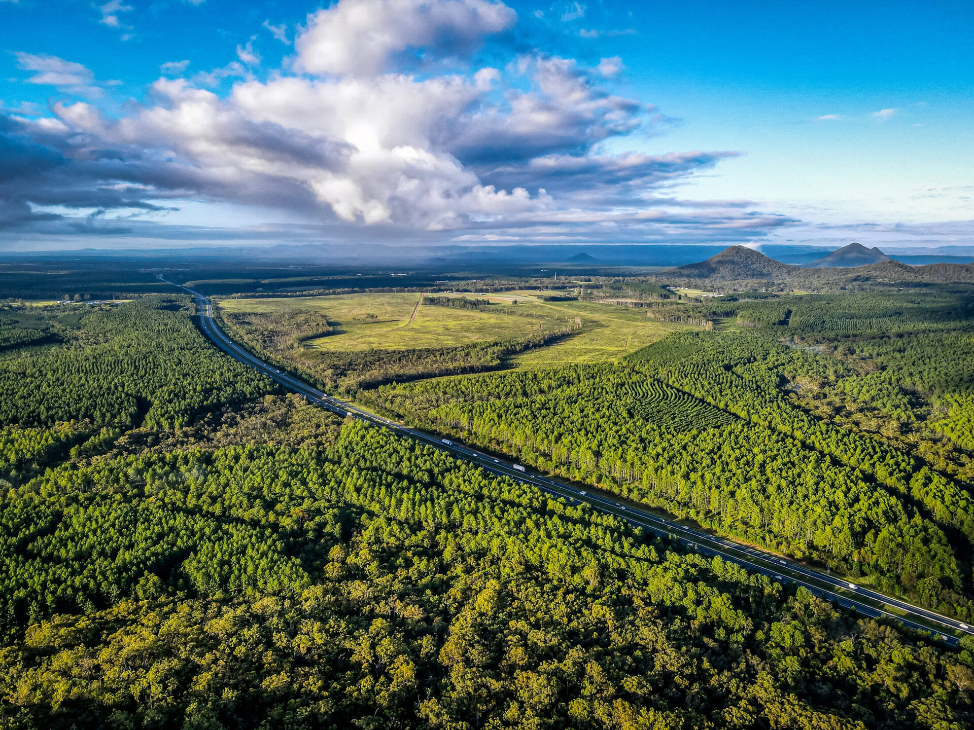
The broad South East Queensland (SEQ) region assigned in Queensland’s RDRP program comprises the 10 Local Government Areas (LGAs) of Sunshine Coast, Somerset, Moreton, Brisbane, Redlands, Ipswich, Lockyer Valley, Scenic Rim, Logan and Gold Coast....
The Greater Whitsunday region is one that celebrates its unique diversity. The region covers 90,354 square km and comprises three local government areas (LGAs) managed by Mackay Regional Council, Isaac Regional Council and Whitsunday Regional Council. It is bounded by...
The Gulf Hinterland region is a unique and tropical landscape of exceptional diversity. It comprises three Local Government Areas (LGAs) managed by the Mareeba Shire Council, Etheridge Shire Council and Croydon Shire Council. The region has a total land area...
The North West Queensland region is situated in the north west corner of Queensland, with the Northern Territory and northern coastline forming part of the border. The region spans 307,082.2 km², occupying approximately 12% of Queensland’s land area. It contains...
The Wet Tropics region is a unique and tropical landscape of remarkable diversity. It spans across a land area of 23,064km² and incorporates six local government areas (LGAs) managed by the Cairns Regional Council, Cassowary Coast Regional Council, Douglas Shire...
The Townsville and Palm Island region is no stranger to natural disasters and hardship – cyclones, floods, droughts and economic downturns are regular events and have created a resilient and adaptable culture, one that recovers from local events and supports...
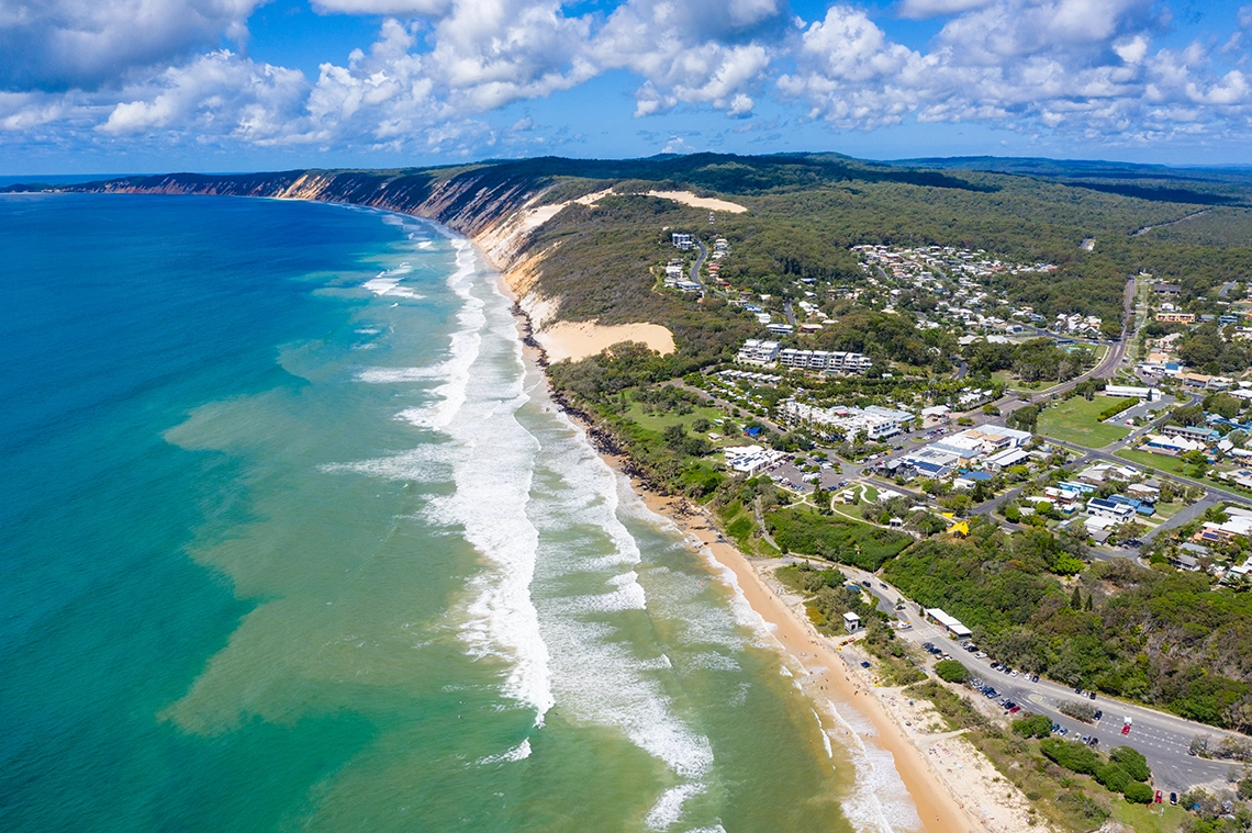
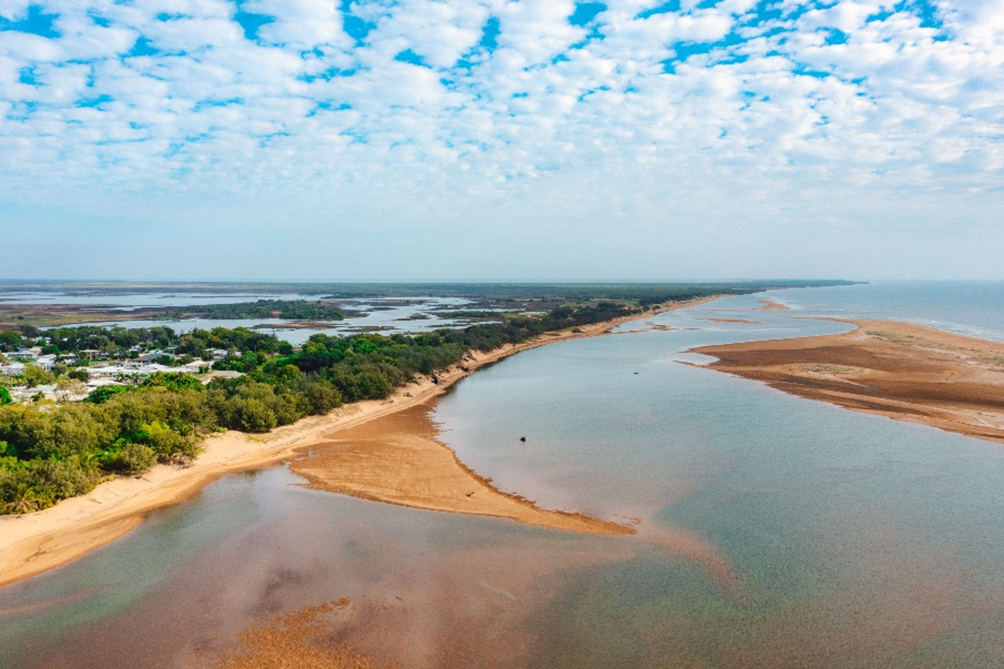
The Mary region consists of a diverse range of land uses, leading to a complex interaction of drought impacts. The Mary region covered by this Regional Drought Resilience Plan encompasses all of the Mary River Catchment and also coastal areas...
The Central West region is a rich tapestry of landscapes and ecosystems which supports diverse native flora and fauna. The region is a unique and diverse area that extends over 396,609 square kilometres, accounting for 23% of Queensland’s land area....
The Burnett region is a fertile area, with several major river systems including the Nogo, Stuart, Burnett, Boyne and Auburn Rivers. The region spans an area of 34,515km² and currently is home to around 144,700 people. The Burnett region as...
The Torres Strait and Cape York region is an iconic part of Queensland, bounded by ocean on three sides and including the northern most tip of the Australian continent....
The South West Queensland region is often referred to as the ‘cornerstone’ of Queensland, with agriculture and agricultural supply-chain industries as a major source of income....
The Burdekin and Charters Towers region features coastal beaches, a fertile river delta, dry and sandy plains, sandstone ranges, basalt walls, dunes, and conservation areas....
The Fitzroy and Capricornia region experiences extreme weather events such as major and minor floods, storm surges, tropical lows, cyclones, bushfire, heatwaves and drought....
Land in the Darling Downs region has always been fertile, and its bounties were enjoyed by First Nations owners even before the arrival of Europeans....