Building drought resilience so our regions can thrive into the future

What is the purpose of drought resilience planning?

Regional drought resilience planning enables stakeholders to identify vulnerabilities and develop strategies to reduce risks and potential impacts – building resilience across four key areas.

  • People, culture and community
  • Infrastructure and built environment
  • Landscape and natural environment
  • Economy

Our approach and engagement processes encouraged community and regional stakeholders to express their own observations of drought and resilience. We have combined the ‘local’ with ‘outside’ definitions to produce the regional understanding that underpins our planning and identifies drought impacts, risks and pathways to resilience.

Queensland RDRP elements of drought resilience

View Regional Drought Resilience Plans

Plans Completed
Plans In Development
on a region for more info
Burdekin and Charters Towers Region

Burdekin and Charters Towers

View plan
Darling Downs Region

Darling Downs

View plan
Fitzroy and Capricornia Region

Fitzroy and Capricornia

View plan
South West Queensland Region

South West Queensland

View plan
Cape York and Torres Strait Region

Torres Strait and Cape York

View plan

Our vision for drought resilient regions

The components of drought resilience plans focus on three key pillars to plan and monitor, respond to drought events and build resilience to limit future impacts.

Pillar 1

Planning and monitoring

Plan for drought responses, implement drought monitoring and early warning systems

Pillar 2

Respond to drought events

Manage responses during drought by dealing with impacts, vulnerability and risk

Pillar 3

Build future resilience

Implement resilience measures to limit future impacts of drought and better respond to drought

Discover more about the regions

Burdekin and Charters Towers

The Burdekin and Charters Towers region features coastal beaches, a fertile river delta, dry and sandy plains, sandstone ranges, basalt walls, dunes, and conservation areas.

Burnett

The Burnett region is a fertile area, with several major river systems including the Nogo, Stuart, Burnett, Boyne and Auburn Rivers. The region spans an area of 34,515km² and currently is home to around 144,700 people. The Burnett region as covered by this Regional Drought Resilience Plan, stretches from Kalpowar in the north, Bundaberg in the east, across to Mundubbera and Eidsvold to the west. The southern limits of the Burnett region reach to Benarkin. The Traditional Owners of the Burnett region include the Bailai, Gurang, Gooreng Gooreng, Taribelang Bunda, Wakka Wakka, Kabi, Kabi, Burunggam and Wuli-Wuli peoples. The region encompasses the four local government areas (LGAs) of Bundaberg, North Burnett, South Burnett and Cherbourg. Bundaberg is the major regional centre, with principal centres including Kingaroy and Gayndah. As with most of Australia, there is a strong link between water – the waterways, waterholes and the patterns of rain and flood – in this region and the cultural practices of First Nations peoples. The region is particularly susceptible to flash droughts that typically last for as little as a month, or up to six months.

Central West

The Central West region is a rich tapestry of landscapes and ecosystems which supports diverse native flora and fauna. The region is a unique and diverse area that extends over 396,609 square kilometres, accounting for 23% of Queensland’s land area. There are seven local governments within the Central West region: Barcaldine Regional Council, Barcoo Shire Council, Blackall-Tambo Regional Council, Boulia Shire Council, Diamantina Shire Council, Longreach Regional Council and Winton Shire Council. It is part of the Lake Eyre catchment and includes the Mitchell Downs, Channel Country and Desert Uplands biogeographic regions. Despite the small population and remoteness of the area, the region hosts several unique communities where the residents’ spirit, pride, sense of community and the innovativeness of small businesses combine to generate sustainable futures. The region is the traditional country of several First Nations language groups – particularly the Kamilaroi, Pirriya, Mithika, Karuwalia, Iningai peoples. They and their ancestors have had a long connection to the land and water, anchored deeply in their cultural, spiritual and historical identity, with a deep knowledge of drought. Over time, land dispossessions, urban development, and loss of native flora and fauna have had unique impacts on First Nations peoples and affected both their cultural practices and decision-making power.

Darling Downs

Land in the Darling Downs region has always been fertile, and its bounties were enjoyed by First Nations owners even before the arrival of Europeans.

Fitzroy and Capricornia

The Fitzroy and Capricornia region experiences extreme weather events such as major and minor floods, storm surges, tropical lows, cyclones, bushfire, heatwaves and drought.

Gulf Hinterland

The Gulf Hinterland region is a unique and tropical landscape of exceptional diversity. It comprises three Local Government Areas (LGAs) managed by the Mareeba Shire Council, Etheridge Shire Council and Croydon Shire Council. The region has a total land area covering approximately 123,000km², approximately 7% of the Queensland land area. The natural landscape extends from the high-rainfall areas of the World Heritage listed Wet Tropics in the east, to the vast, weathered, low plain – dominated by meandering rivers and large floodplains in the west. East of the Great Dividing Range provides for pristine rainforest of the Kuranda Range and extends west across the vast Savannah with more arid landscapes. The area contains a wealth of Indigenous heritage, high conservation values and natural resources. 

Mackay, Isaac and Whitsunday (Greater Whitsunday)

The Greater Whitsunday region is one that celebrates its unique diversity. The region covers 90,354 square km and comprises three local government areas (LGAs) managed by Mackay Regional Council, Isaac Regional Council and Whitsunday Regional Council. It is bounded by St Lawrence in the south, Gumlu in the north, out to Clermont in the west and the Great Barrier Reef Whitsunday’s group of 74 islands to the east. The region is home to around 190,000 people spread across a number of key regional centres, islands and rural communities. Considered one of the most resource-rich areas in Australia, the Greater Whitsunday region has become an economic powerhouse across key industry sectors such as mining, manufacturing, agriculture, health care and social assistance, tourism, and construction. It is recognised as a major part of Queensland’s economy as well as a world-renowned tourist destination.

Mary

The Mary region consists of a diverse range of land uses, leading to a complex interaction of drought impacts. The Mary region covered by this Regional Drought Resilience Plan encompasses all of the Mary River Catchment and also coastal areas to the east. Land areas range from the tip of K’Gari (Fraser Island) and Hervey Bay in the north; to Imbil in the south and extending as far west as Goomeri. At its heart is the Mary River, known as Moocooboola by the Indigenous Gabi Gabi people. This was originally named the Wide Bay River by early European explorers, before being officially re-named the Mary River in 1847, in honour of the Governor’s wife. The Mary RDRP region primarily includes areas of the Fraser Coast, along with the Gympie, and Noosa Local Government Areas (LGAs).

North West

The North West Queensland region is situated in the north west corner of Queensland, with the Northern Territory and northern coastline forming part of the border. The region spans 307,082.2  km², occupying approximately 12% of Queensland’s land area. It contains eight Local Government Areas (LGAs) of Burke Shire Council, Carpentaria Shire Council, Cloncurry Shire Council, Doomadgee Aboriginal Shire Council, Flinders Shire Council, McKinlay Shire Council, Mount Isa City Council and Richmond Shire Council. Despite its significant land area, the region is home to less than 1% of the State’s population. The North West Region has a rich cultural heritage and a significant Aboriginal and/or Torres Strait Islander population. Its main industries include agriculture, mining and tourism. The understanding of drought in the North West is linked with weather conditions that are strongly correlated with higher temperatures, increased evaporation, heatwave, and reductions in rainfall.

South West Queensland

The South West Queensland region is often referred to as the ‘cornerstone’ of Queensland, with agriculture and agricultural supply-chain industries as a major source of income.

Torres Strait and Cape York

The Torres Strait and Cape York region is an iconic part of Queensland, bounded by ocean on three sides and including the northern most tip of the Australian continent.

Townsville and Palm Island

The Townsville and Palm Island region is no stranger to natural disasters and hardship – cyclones, floods, droughts and economic downturns are regular events and have created a resilient and adaptable culture, one that recovers from local events and supports the wider north Queensland in its time of need. The region is home to over 200,000 people and spans across 72km² and 3730.8km² of northern Queensland’s wet and dry tropics respectively. The region is located along the North Queensland coast and features both wet and dry tropics environs, world heritage areas, the Great Barrier Reef and a thriving city. The Townsville and Palm Island regions have a long history of prolonged dry seasons, with the majority of Townsville situated within the dry tropics. Despite the region’s familiarity with drought, the slow-moving and unpredictable nature of the duration and severity of such events can generate devastating and long-standing effects. Given the absence of a significant agriculture sector, the Townsville and Palm Island region has historically been impacted by drought differently to the neighbouring local government areas.

Wet Tropics

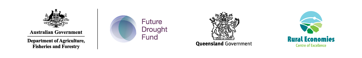
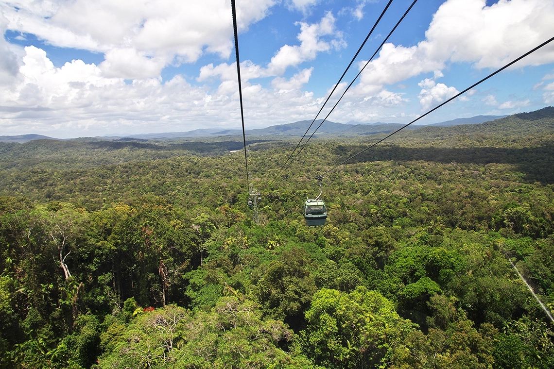
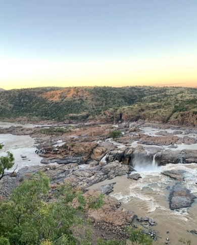
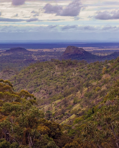
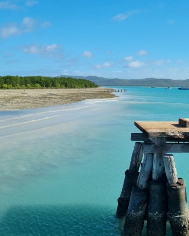
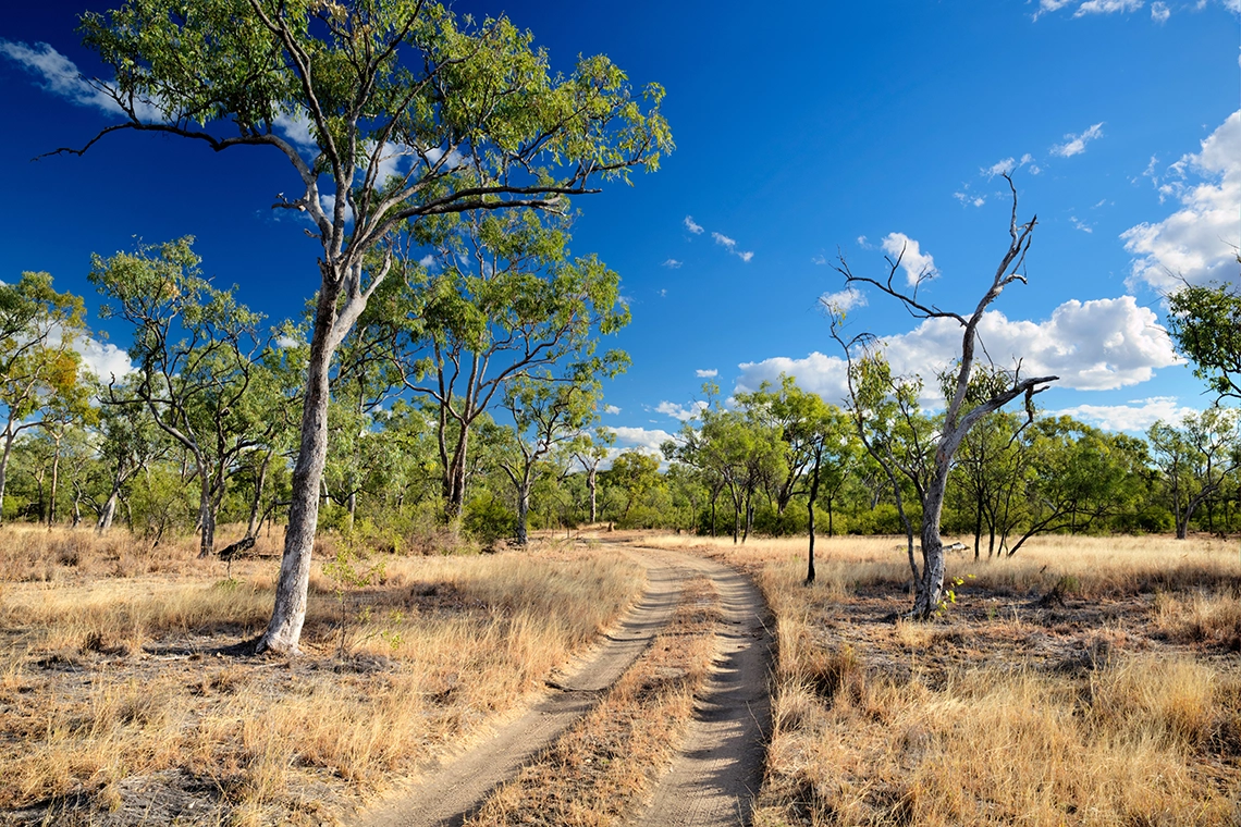
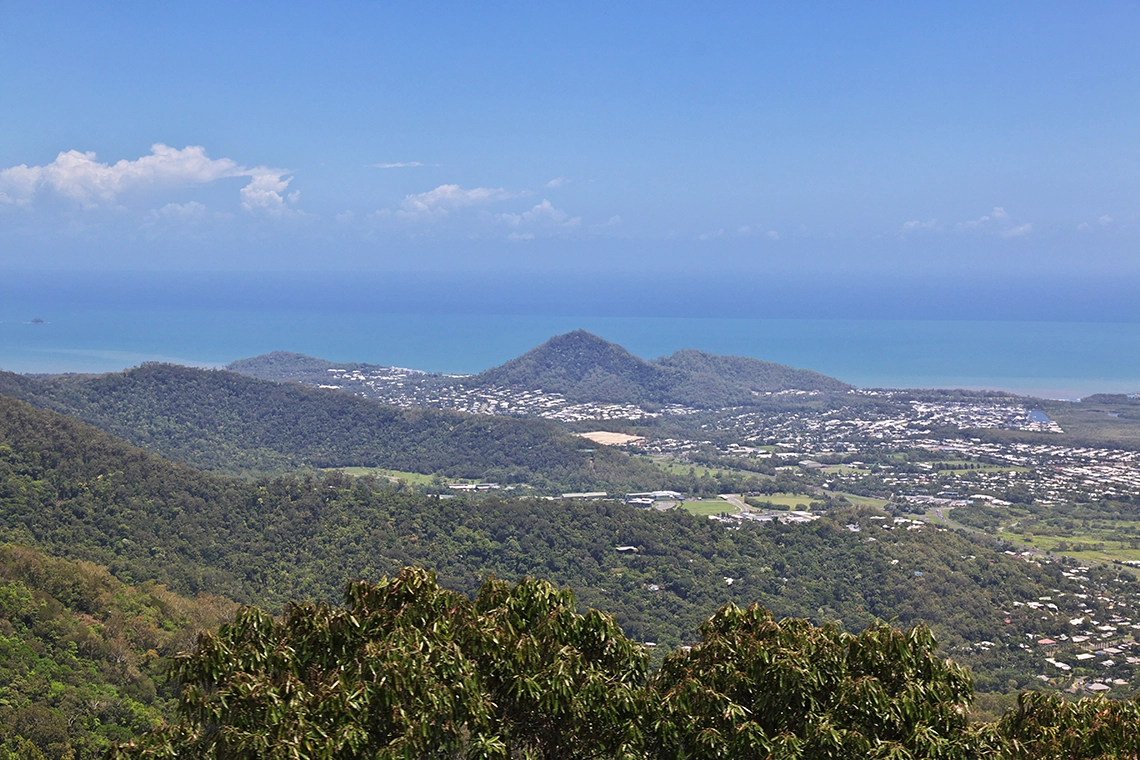
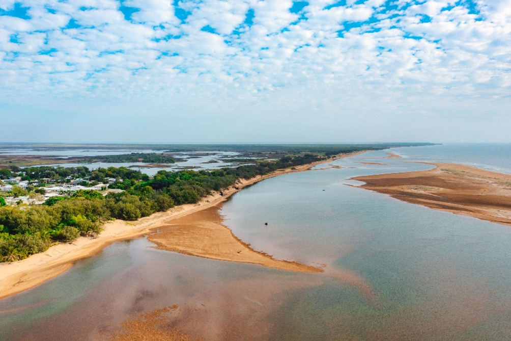
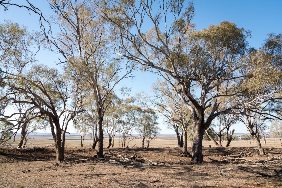
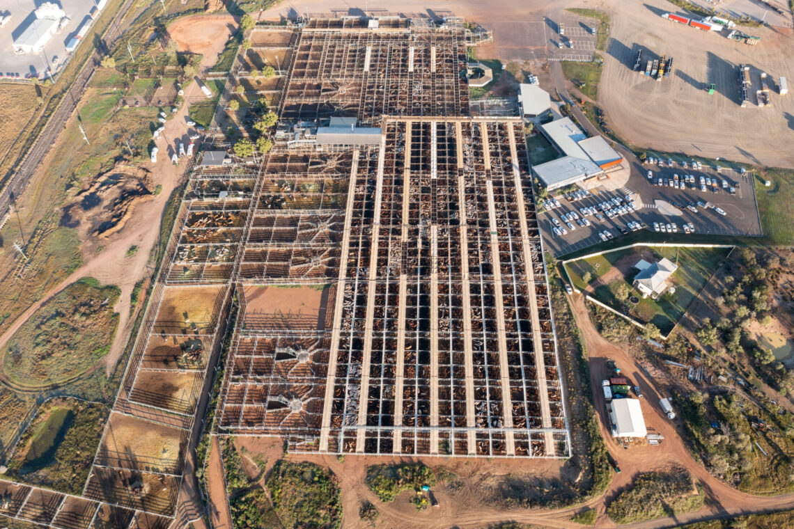
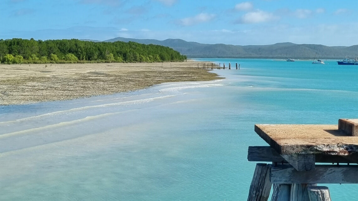
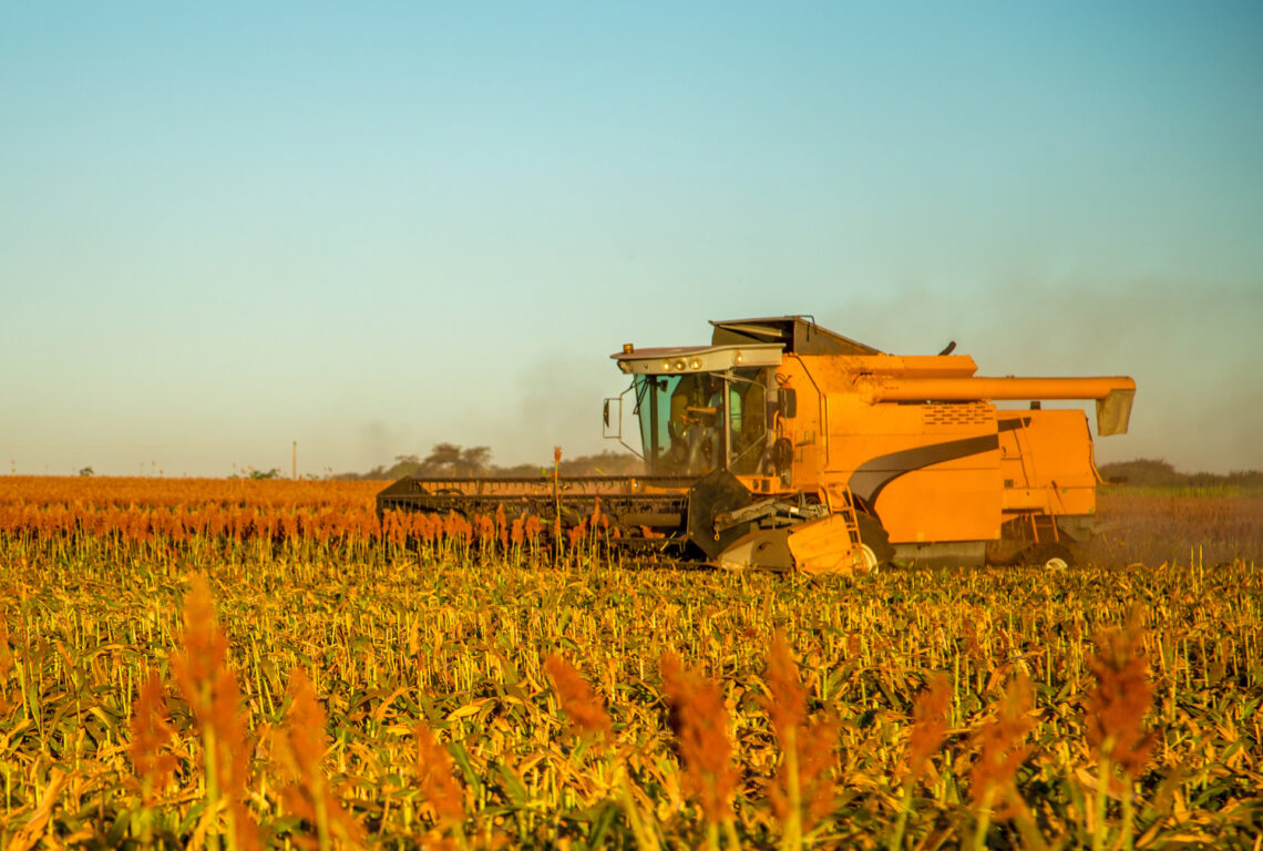
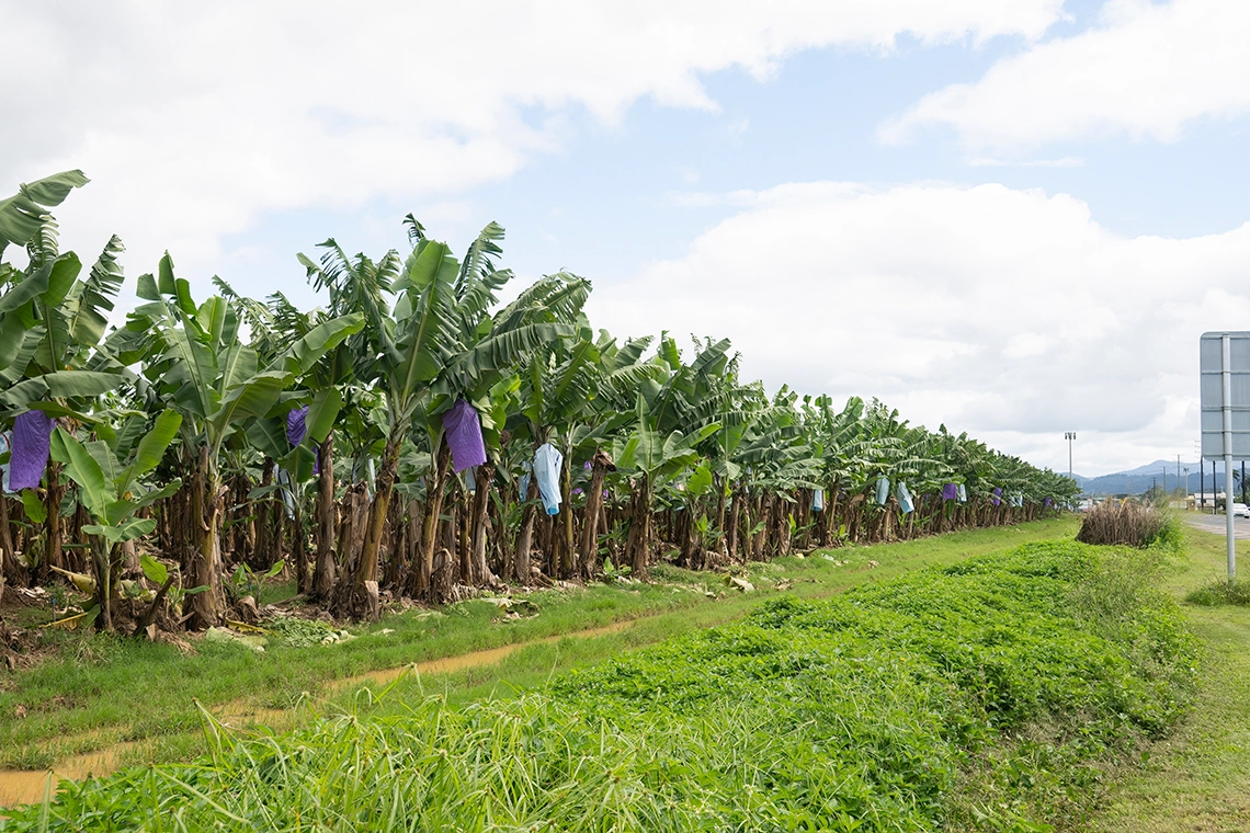
The Wet Tropics region is a unique and tropical landscape of remarkable diversity. It spans across a land area of 23,064km² and incorporates six local government areas (LGAs) managed by the Cairns Regional Council, Cassowary Coast Regional Council, Douglas Shire Council, Hinchinbrook Shire Council, Tablelands Regional Council and Yarrabah Aboriginal Shire Council. It may seem counterintuitive to consider drought as an issue in the wettest part of Australia. It is a misconception, however, that tropical regions do not experience drought. Every year there is a long dry season of variable intensity. Sometimes, the wet season comes late or finishes early, and consequently, the dry season can be very long. On rare occasions, the wet may fail all together. The impacts of these long dry spells can be devastating, and they have a high cost for local communities. As a globally recognised World Heritage Area, the ecosystems in the Wet Tropics are fragile, and wetlands, rivers, coastal plains and lagoons can be challenged with significant stressors for wildlife and flora. These ecosystems also have cultural significance to Rainforest Aboriginal People and communities in the region. In the context of the Wet Tropics, drought relates to the variability in seasonality and distribution of rainfall. This change can result in a late, reduced or limited wet season across part or all of the region. Importantly, the concept of drought in the Wet Tropics used in this plan also includes more typical weather conditions correlated with drought, including higher temperatures and heatwave conditions, reductions in rainfall, increased evaporation, and increased variability in rainfall patterns.
Previous
Next

Quotes from the communities

During our engagement we listened to the views of community members and stakeholders.

The big issue for rural people with drought or any kind of natural disaster is stigma – weakness of not being able to cope with the situation and the risk of being the one that lost the family farm.

Sean Winning TRACC

Burdekin and Charters Towers

Greater connectivity has additional economic and social benefits including liveability, worker attraction, connectivity to health, education, and financial services.

Casie Scott NBN

Burdekin and Charters Towers

Drought resilience will result in a regional Australia that can endure deeper, longer droughts, and recover from them sooner.

Community member

Burdekin and Charters Towers

We have gone through this before!

Local Aboriginal Elder

Darling Downs

People need to know what is available. A local extension officer is vital. People need to know them and trust them. They are the eyes and the ears of a community.

Community member

Darling Downs

Look at better ways in managing the land to rely less on water supplies and ensure that we are utilising what we have to its full potential.

Community member

Darling Downs

Water is integral to Aboriginal culture and belief systems.

Community member

Darling Downs

keep building the infrastructure and don’t get complacent because times are very good now…

Community member

Darling Downs

One of the key issues for future growth surrounds access to water, and the availability of water for new intensive agriculture developments…

Western Downs Mayor

Darling Downs

Drought resilience will result in a regional Australia that can endure deeper, longer droughts, and recover from them sooner.

Community member

Fitzroy and Capricornia

Learn from the past, don’t overstock, set up good water Infrastructure and keep in mind to sell early.

Nev Ferrier

Fitzroy and Capricornia

Increase in livestock, fish stock, and crop losses as a result of the exacerbation of drought conditions may result in significant consequences for already strained business owners and communities.

Community member

South West Queensland

there is much to learn from country dwellers and their capacity for innovation and creativity.

Jean

South West Queensland

Suicide is the 4th highest cause of death amongst Western Queensland males – males [in this region] had the highest rate of death from suicide compared to all PHNs (2.18 times the rate compared to Australia-wide).

Western Queensland Public Health Network

South West Queensland

Substantial impacts to the agricultural community and wider sector are almost certain due to the impact of sustained elevated temperatures on crops, livestock, and the exacerbation of pre-existing drought conditions and underlying bushfire risk.

Queensland State Heatwave Risk Assessment

South West Queensland

Through the RDRP engagement there was a realisation that there is a vulnerability or exposure to the impacts of drought, especially when it comes to issues around water security and increased risk of wildfires.

Community member

Torres Strait and Cape York

Drought is very different here in Cape York than it is down south. Long dry spells or prolonged dry seasons is the language used… not specifically the word ‘drought’.

Community member

Torres Strait and Cape York

Resilience is in having healthy country and if the country is sick then you have a sick community. Country can’t be healthy unless it is lived on. The country needs people on it to see it, observe it and protect it…

Community member

Torres Strait and Cape York

Find out the latest